


COMPANY INFORMATION
PRODUCTS
MY ACCOUNT
Fraternali
FRATERNALI EDITORE was founded in 2005, with the starting objective of creating detailed excursion cartography, in the province of Torino. After that, it spread throughout the whole Piedmont, Liguria, Valle d'Aosta and France.
The cartographic and survey activities are done by the partners Mario Fraternali and Attilio Richetto directly or by selected collaborators. The first map was published in the spring of 2007, up to a total of 48 maps in 2021.
Starting from 2010 the activity has been extended with the publication of excursion and sporting guides.
The cartography by FRATERNALI EDITORE is realized with GPS technology and it is not created using data from other pre-existing maps, as for instance the ancient military maps, that are used only as a reference for an initial evaluation of the job to develop on site.
However new technologies needs a careful job of verification in the field: our maps are born from a long and hard direct inspection of the main and secondary paths, the forest trail network and gravel roads.
Our objective is always that of doing a complete "exploration" of the whole territory, without privileging the more known excursion areas, with the purpose to create a product of high quality and accuracy in the whole area covered by the map.
Thousands of kilometers have been crossed among Piedmont, Liguria, Valle d'Aosta and France.
Until today, 36 maps have been published at a scale of 1:25.000, 5 maps at scale 1:50.000, 3 ski mountaineering paper guides at scale 1:25.000 and 6 thematic publications.
Further maps related to the Langhe area are going to be produced.
From 2005 field investigations are projected on a cartographic base, using the official data furnished by the Cartographic Service of the Region of Piedmont, Liguria, Valle d'Aosta and from the IGN, Geographic National Institute of France.
All the products by Fraternali Editore are based on the creation of a complete geographical database, structured on GIS software with the following levels:
- Excursion information (shelters, bivouacs, unwatched refuges, climbing walls, equipped areas, places of interest, routes fitted, dangerous passages, etc..)
- Cartographic legends and general information (entirely translated in English, French and German)
- Specific elements such as fountains, piles, crosses, access restrictions, caves etc.
- Ski touring paths
- Mountain bike trails
- Primary and secondary path network
- Designation of paths and excursion routes
- Complete road network
- Land typology (woodlands, glaciers, stony grounds etc.)
- Lakes, rivers, canals
- National, regional, provincial, local borders, national parks
- Curves of 50m, 10m, 5m equidistance
- Buildings, industries, churches, cemeteries
- Military buildings, fortifications
- Complete toponymy
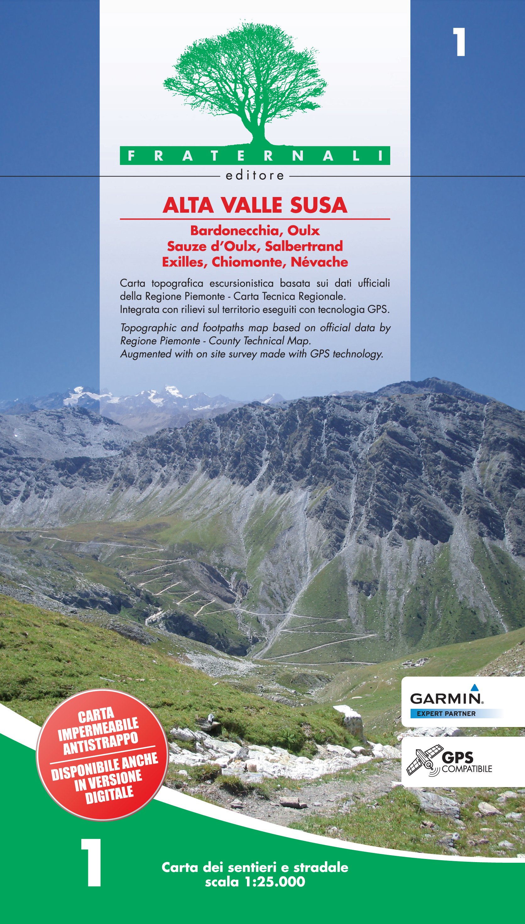
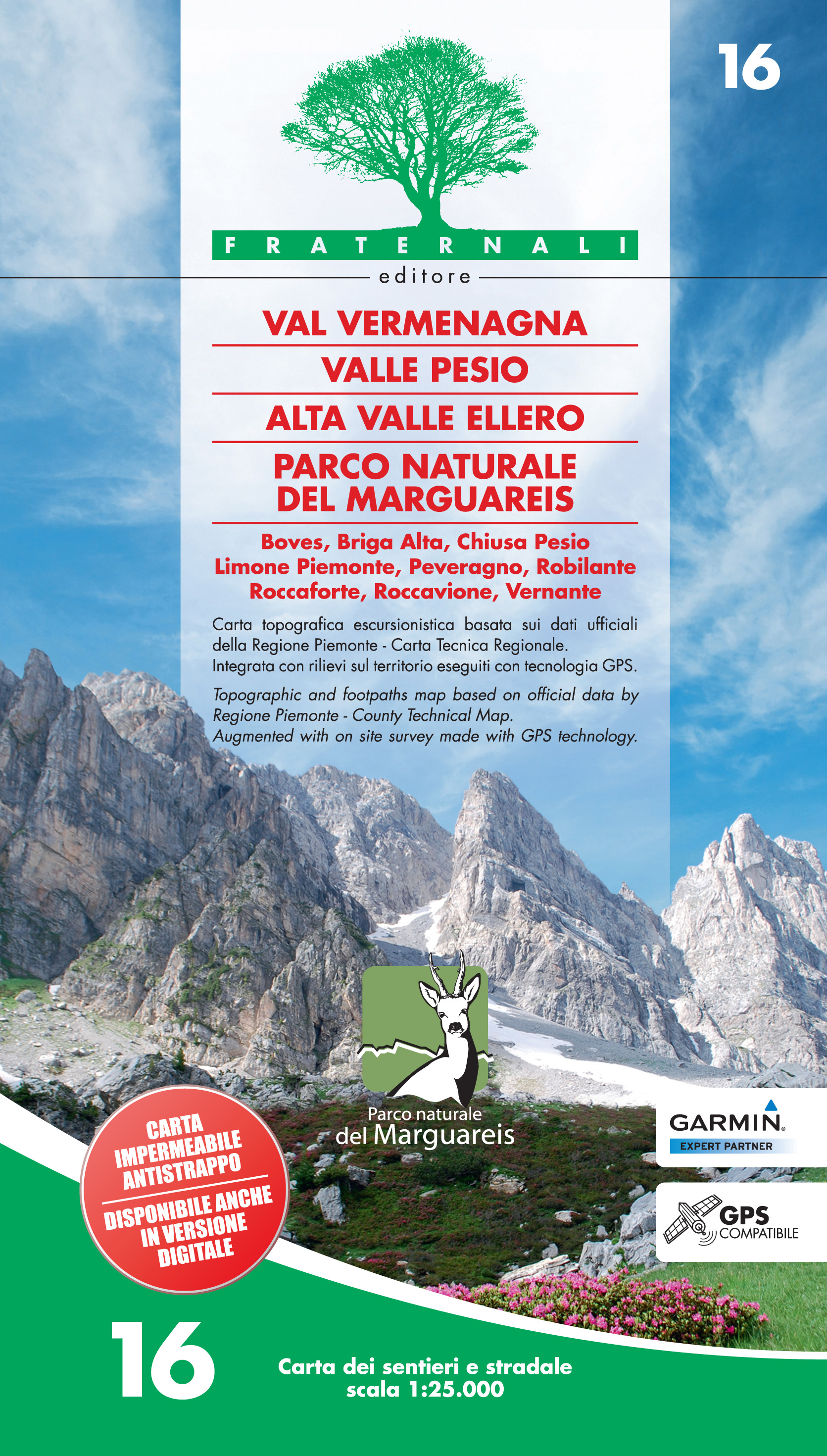
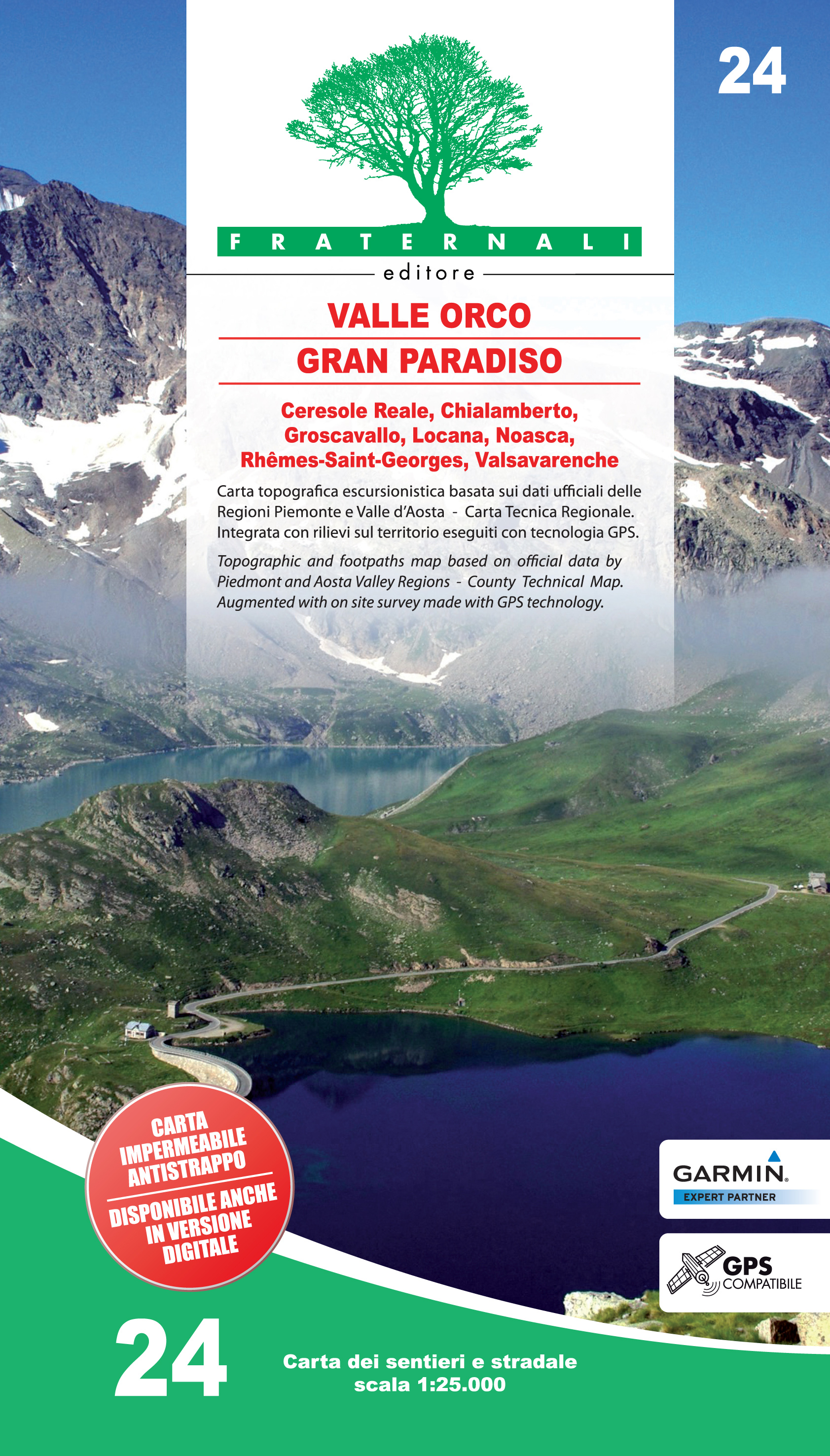
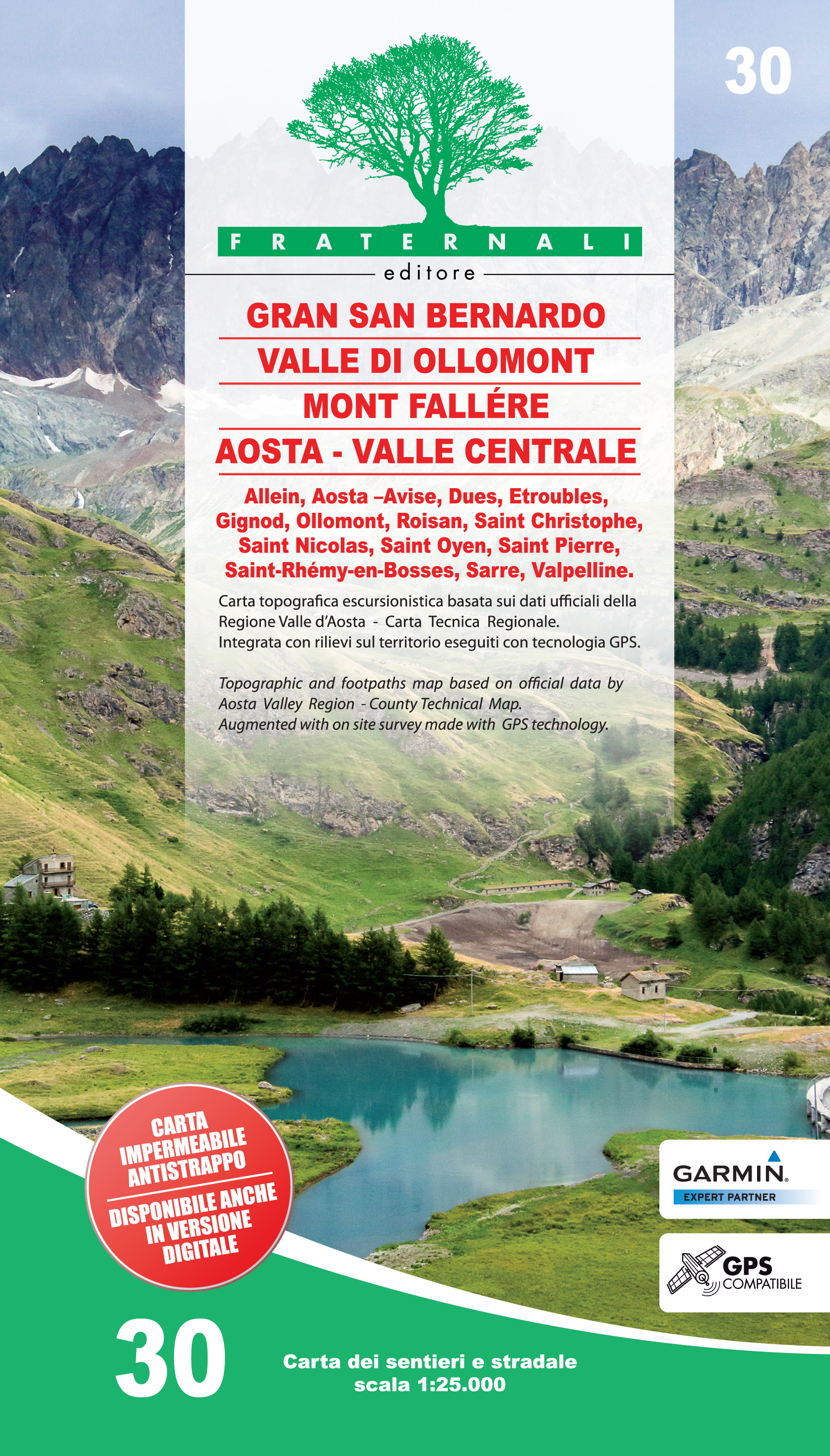
Topographic maps 1:25.000
Craenen Code: FRAT.T25
GRID INDEX of the 1:25.000 maps
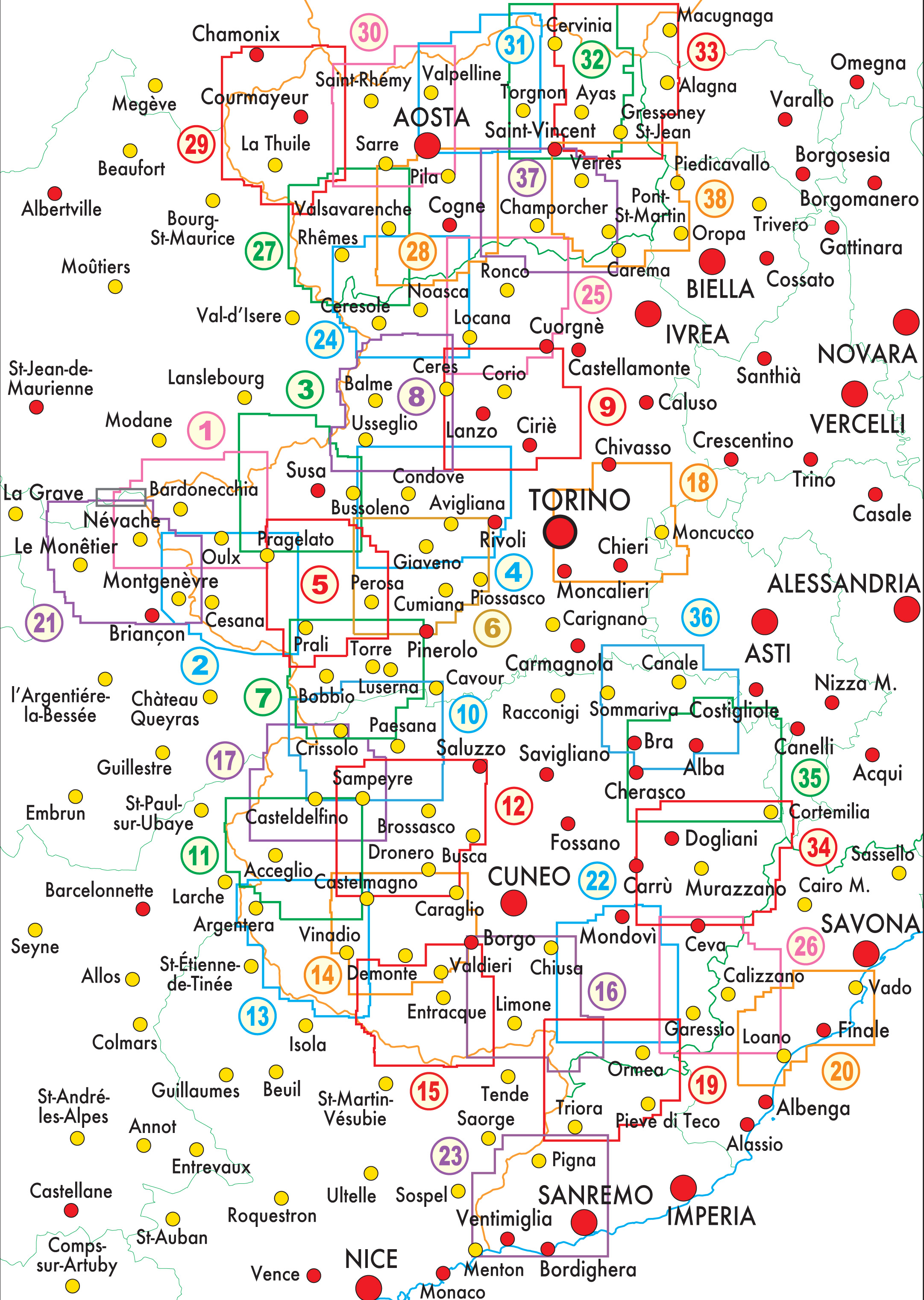
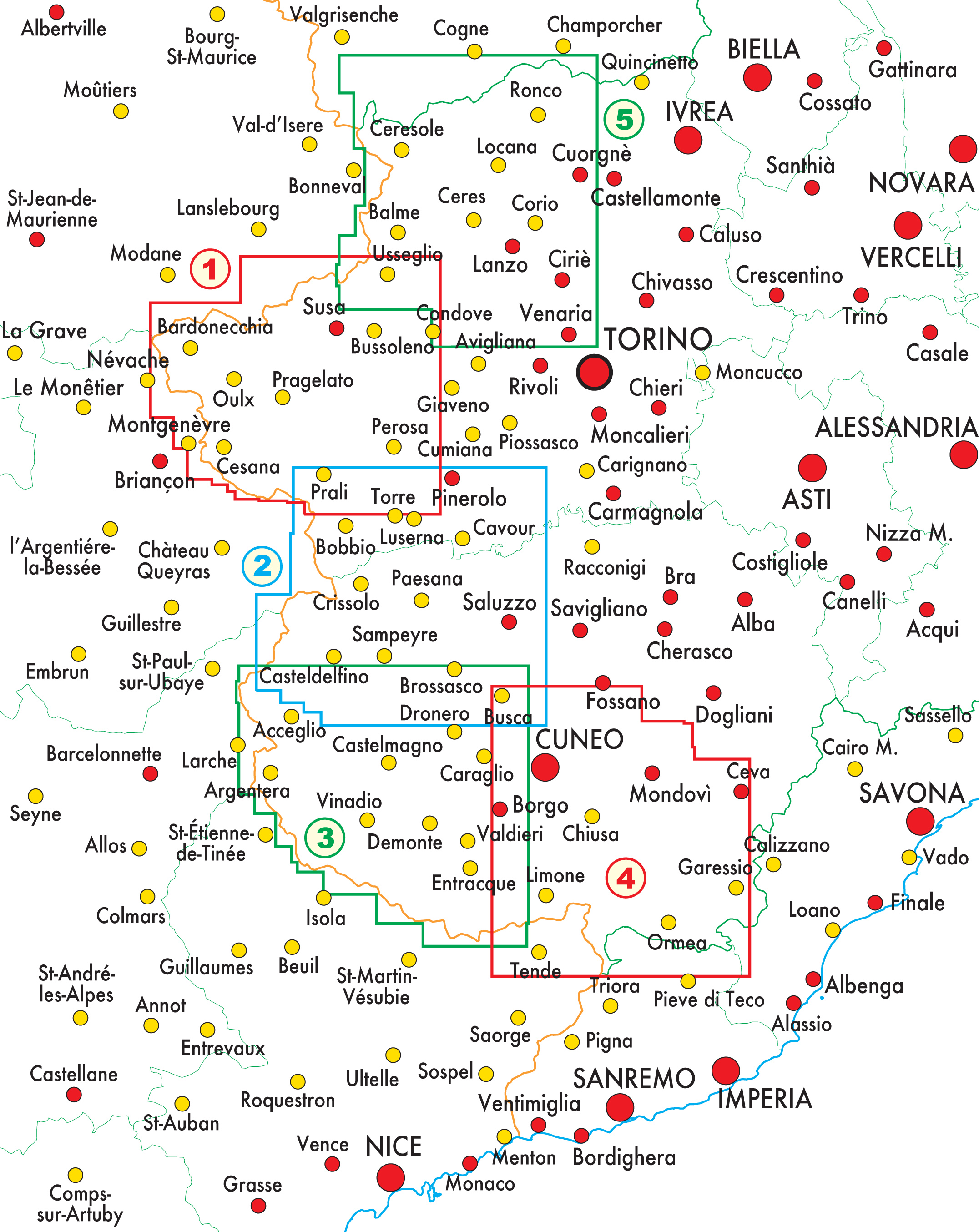
Topographic maps 1:50.000
Craenen Code: FRAT.T50
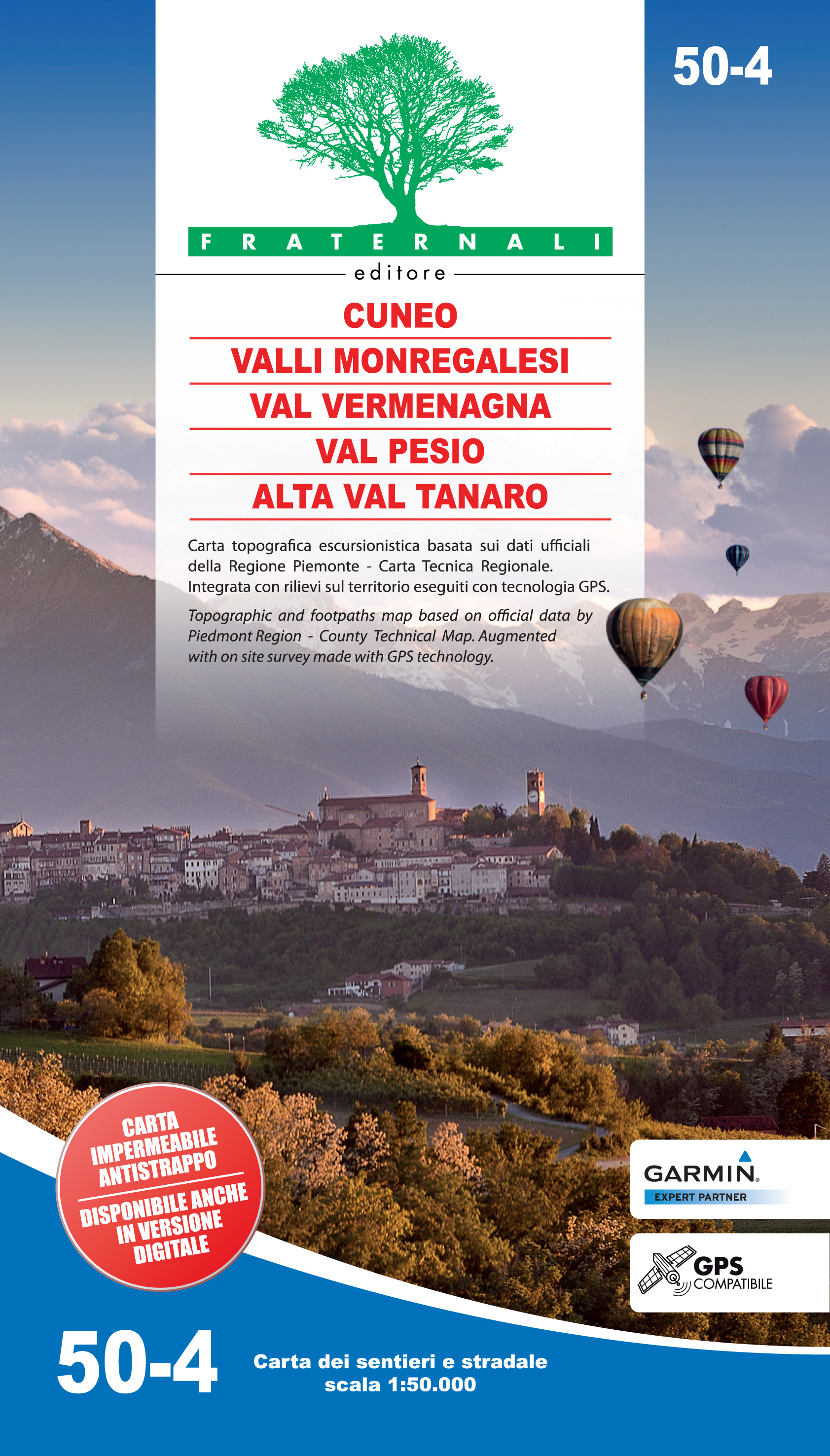
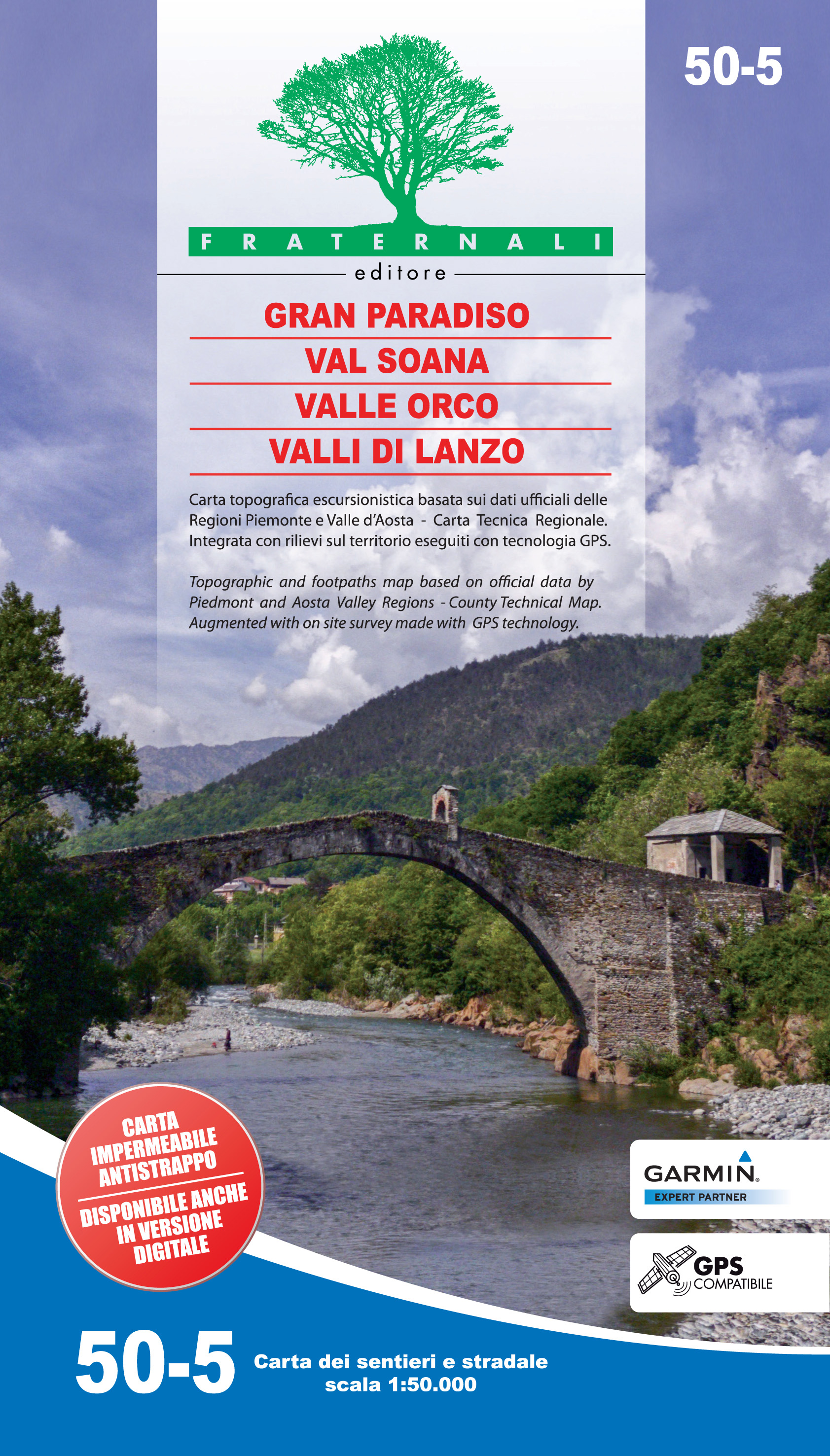
GRID INDEX of the 1:50.000 maps
< Previous
Next >
< Back to overview maps