


COMPANY INFORMATION
PRODUCTS
MY ACCOUNT
Luxembourg
Administration du cadastre et de la topographie (ACT)
(Administration of the cadastre and topography)
The main tasks of the administration of the cadastre and topography (ACT) can be divided into three main areas:
- the creation, management, updating and distribution of official land and cartographic documentation in the Grand Duchy of Luxembourg.
- cadastral surveying in the Grand Duchy, regulated by the Law of 25 July 2002 establishing and regulating the professions of surveyor and official surveyor, is performed and supervised by the ACT.
- the management of the national geodetic networks.
As manager of land and cartographic reference documentation, the ACT provides geodata, essential to any planning affecting the general arrangement of the territory and allowing the effective management of land ownership operation in the property market.
Topographic maps
A topographic map is intended to be an accurate representation of the terrain. It differs from thematic maps (city maps, road maps, etc.) by the richness of its content, its high precision and especially the representation of the topography by contour lines.
Moreover, topographic maps allow the geometric location of any element, since these maps are defined in the national coordinate system.
The application of topographic maps are numerous:
- technical project studies and planning
- orientation (military, tourism, sports, ...)
- site locations
- administrative management (habitats, water management ...)
- basemap for various thematic and other maps.
A topographic map cannot meet all the specific needs of such a wide range of users, but it must be a good compromise that meets the needs of the users best.
Topographic maps are updated regularly.
The content of a map and the accuracy of the location of represented topographic objects depend on the scale of the map. Depending on the choice of the scale, the objects must begeneralized to ensure good readability of the map.
Craenen distributes the topographic maps of Luxembourg at scale: 1: 20,000, 1: 50,000 and 1: 100,000.
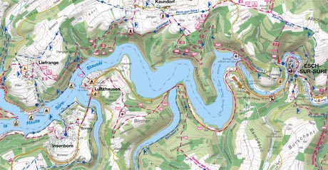
Topographic maps - scale 1:20,000
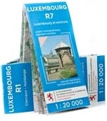
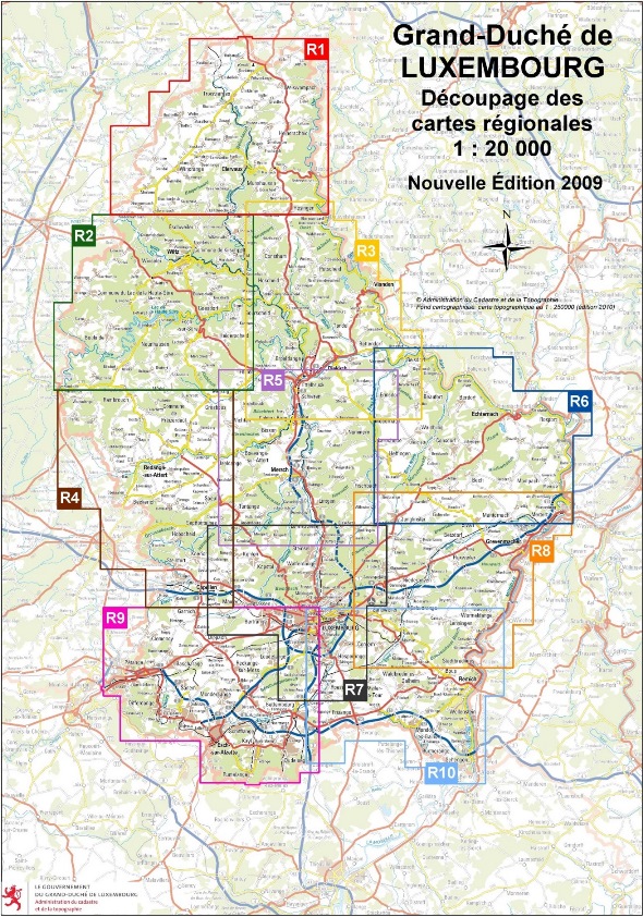
The current edition of the topographic tourist map scale 1: 20,000 is the R series, which comes in 10 sheets, each sheet covering a specific tourist region and is distinguished by the following new features:
- update of the content of the base map,
- improved legibility,
- review and completion of tourist walks represented with their starting point and new designation,
- updated cycle network,
- representation of the Mullerthal-Trail and mountain bike trails, indicating their signposts,
- revision of the tourist information and leisure activities.
Example:
The subdivision of the Grand Duchy of Luxembourg in 10 maps:
Topographic maps – other scales
Scales 1:50,000 and 1:100,000
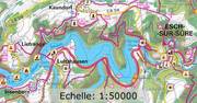
Topographic maps of the Grand Duchy of Luxembourg on a small scale are available as follows:
| The territory of the Grand Duchy | |
|---|---|
|
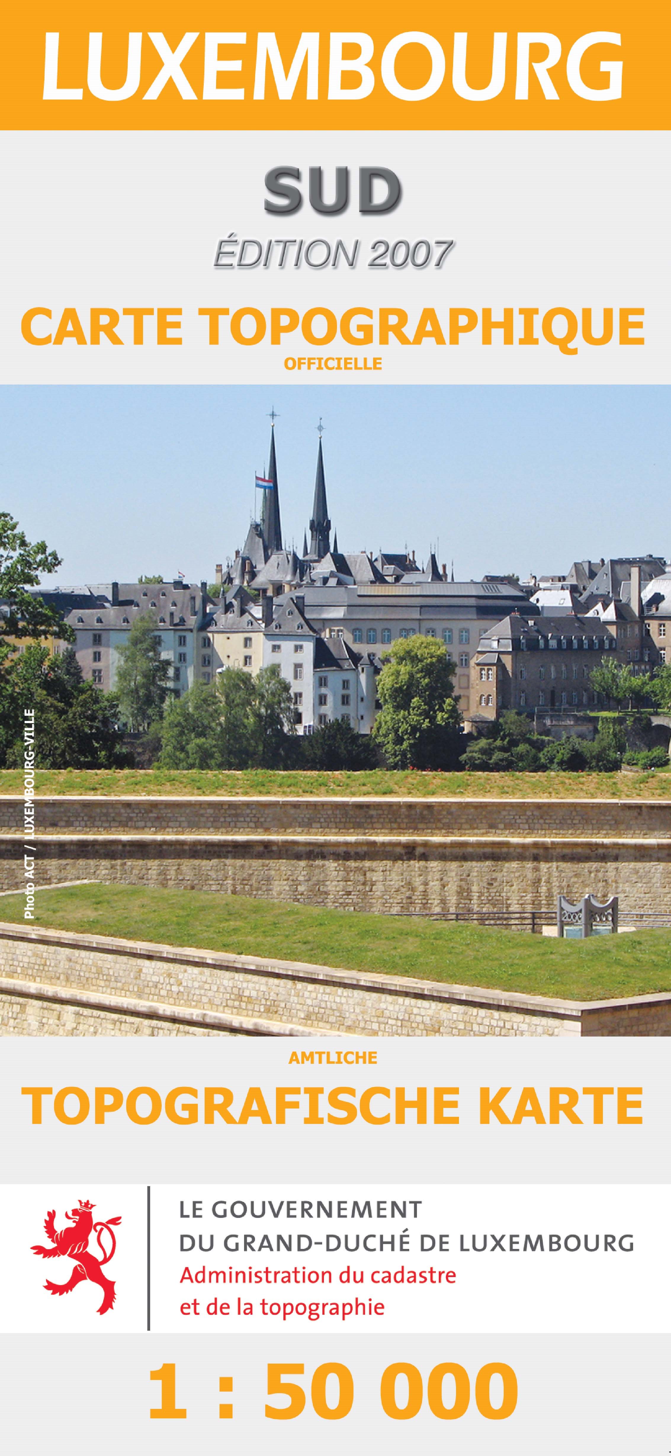
at scale 1: 50,000 on two sheets:
a NORTH sheet and a SOUTH sheet 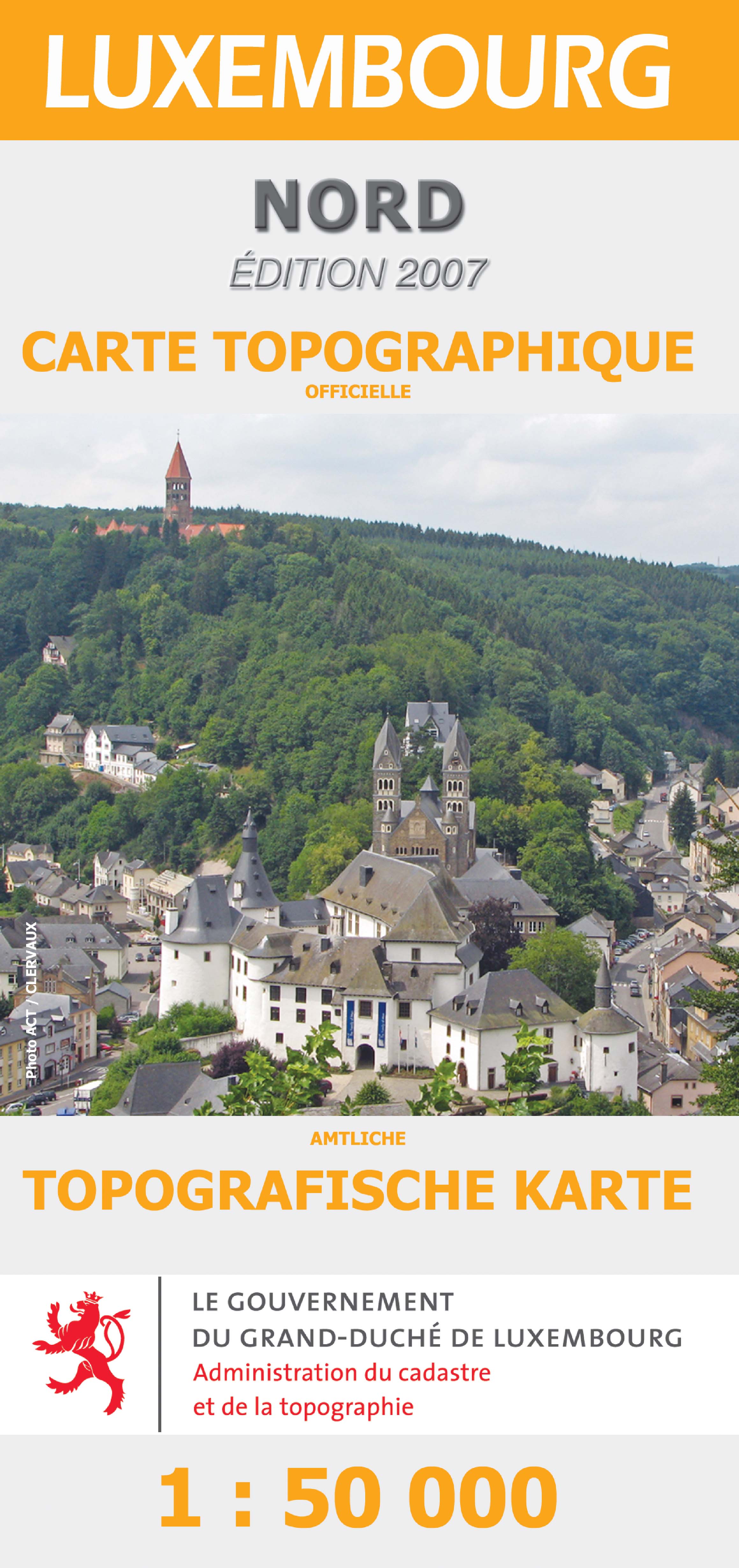
|
at scale 1: 100,000 on one single sheet:
normal or pocket size 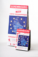
|
< Previous
Next >
< Back to overview maps